



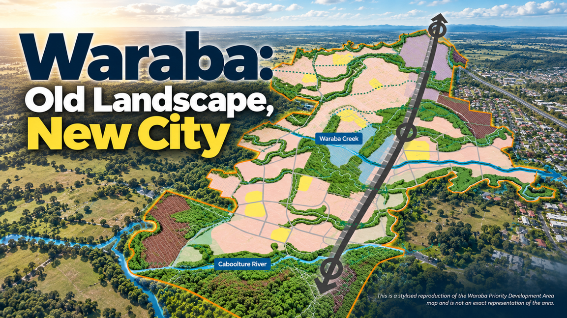
Waraba will eventually put about 25,000 homes on country west of Caboolture, bringing an estimated 65,000 people into what is now a landscape of paddocks, bushland and waterways. Yet some of the strongest features on the future city’s map are already here: the Caboolture River across its southern reaches, Waraba Creek further north, and smaller waterways and pockets of vegetation between them.
As development advances over the next four decades, that natural framework is intended to remain threaded through the city. Waraba covers about 2,880 hectares, with its current Interim Land Use Plan mapping about 360 hectares of green corridors, much of it following watercourses. The proposed long-term Development Scheme provides for about 860 hectares of green space overall.
On a planning map it can look complicated. On the ground, much of the pattern follows something far older and simpler — the water.


The Caboolture River Holds the Southern Line
The Caboolture River cuts an east-west path across southern Waraba, separating areas earmarked for urban development with a corridor of waterway, floodplain and vegetation. Floodwater still has to move through this country, while vegetation along the river contributes habitat and water-quality functions as stormwater from the growing city enters the catchment.


It is also a landscape that has changed before. Timber was an early industry in the wider Caboolture district, with logs transported along the river before farming and grazing transformed much of the surrounding land. The green corridor planned through Waraba therefore isn’t simply a matter of fencing off untouched bushland: some vegetation can be retained, while degraded sections will need rehabilitation.
Waraba Creek Carries the Network North
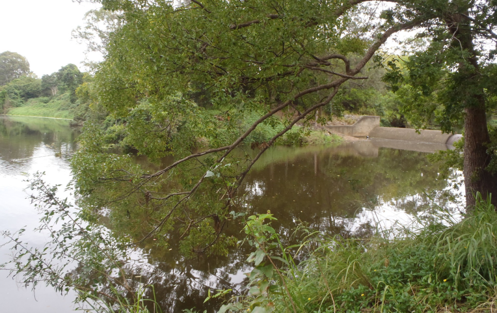
Further north, Waraba Creek passes through country with its own history of disturbance. Government catchment studies describe much of its subcatchment as having been cleared for grazing and rural residential uses, although eucalypt vegetation remains in the upper reaches and native vegetation has regrown elsewhere. Rainforest, scrub and eucalypts also survive along sections of the creek, sometimes in narrow bands that will eventually sit between urban neighbourhoods.
Earlier ecological surveys across Caboolture West recorded koalas across the study area, although the population was described as dispersed and at low density. The connections between habitat patches remain important: current Waraba controls require development to consider fauna movement along ecological corridors and across infrastructure, including safe movement for koalas. Roads will intersect parts of the network, with the detailed treatment of those crossings subject to later planning and approvals.
Smaller Creeks Close the Gaps
Between and beyond the two larger waterways, smaller creeks, drainage lines and vegetation links fill out the network. Some already carry habitat; elsewhere the landscape is fragmented enough that revegetation will be needed to strengthen the connection between larger green areas.


Not all of that land will become conservation reserve. Waraba’s wider green space is also intended to accommodate parks, walking and cycling paths, recreation and stormwater infrastructure, which means a green line on the structure plan can represent very different conditions on the ground.
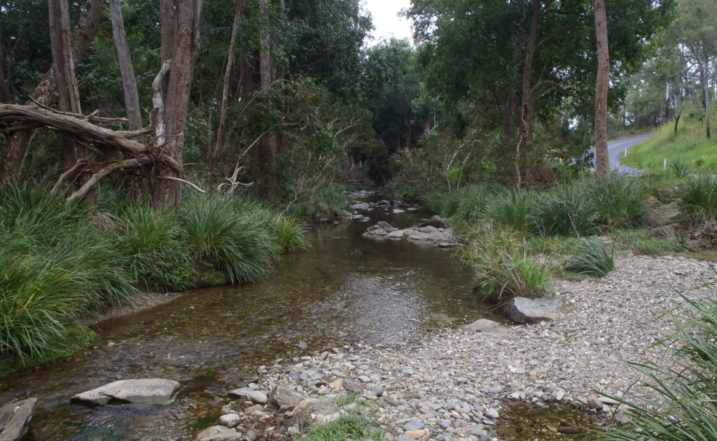
Those differences will become harder to overlook as Waraba fills in. Roads will cross waterways, neighbourhoods will reach their edges and some of the habitat connections drawn on today’s maps will have to be restored before they can function as intended.
Decades from now, perhaps 65,000 people will call this country home, but the Caboolture River will still cross the city’s south and Waraba Creek will still carry water through it. The success of the green network will be measured by something less visible than the houses built around them: what can still move through Waraba when the city is finished.
Published 25-September-2026
CLICK ANY LOGO TO SEE PUBLICATION