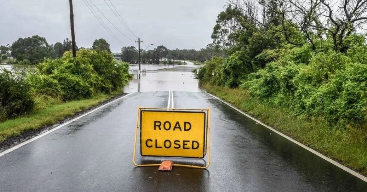
A flood-related closure at the Burpengary Creek crossing on Moorina Road in Narangba was recorded on 25 October, alongside a separate closure on Creek Road in Burpengary East after heavy rain caused flash flooding.
Queensland Traffic recorded Moorina Road under incident 836019, last updated at 9.45pm on Sunday, 25 October. Creek Road near Eastern Service Road was recorded separately under incident 836049, last updated at 5.30pm. Both records described closures to all traffic due to flash flooding caused by heavy rain. Neither incident appears in the North Coast report timestamped 10.15am on Monday, 26 October, but the latest listing does not confirm when either road reopened.
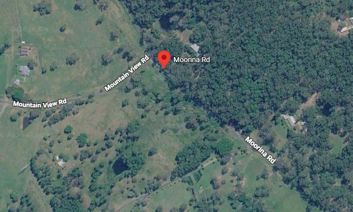
Moorina Road closure recorded at Burpengary Creek
Photo credit: Google Maps
The Sunday record identified the Moorina Road closure at the Burpengary Creek crossing in Narangba. It attributed the closure to flash flooding caused by heavy rain but did not specify the precise mechanism behind the water affecting the crossing.
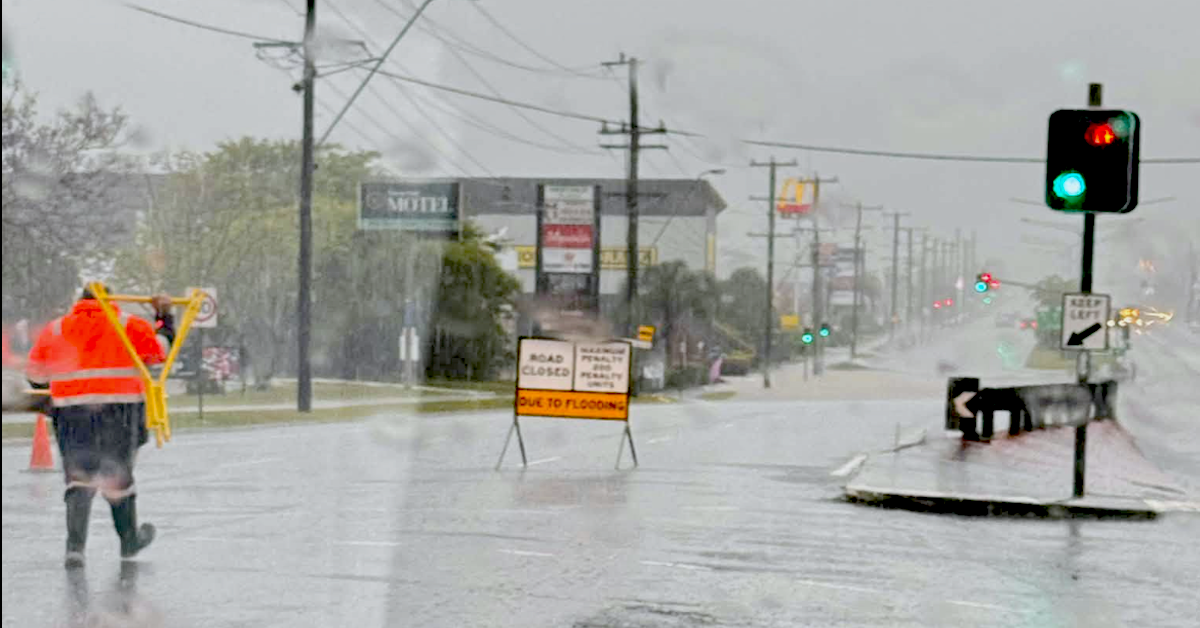
Creek Road near Eastern Service Road was a separate flood-related closure in Burpengary East. Its last recorded update was at 5.30pm on Sunday, 25 October.
The two closures affected different locations and should not be conflated. The records available for this report do not establish a verified detour, school transport change or bus-service disruption for either road.
Thursday’s rain prompted local flood reporting
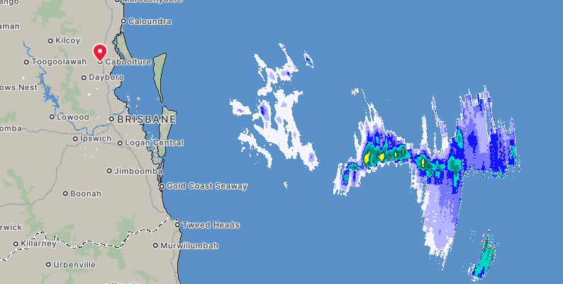
Photo credit: bom.gov.au
Heavy rain and flash flooding affected the Moreton Bay region on Thursday, 22 October. The City of Moreton Bay’s wet-weather and flash-flooding update provides background on the event and its local impacts.
The earlier flooding and Sunday road closures should be distinguished from the weather forecast for Monday. A forecast of further storms does not establish that either road flooded again.
This is a developing story. Information is based on official warnings and reports as of press time. Road conditions, school arrangements and emergency warnings may change throughout the day.
Morayfield and Burpengary were caught in an intense morning downpour that brought flash flooding across northern Moreton Bay, disrupting travel and putting local creek crossings under renewed pressure.
On Thursday, 22 October, the Bureau of Meteorology recorded 128 mm at Sheep Station Creek in Morayfield, 127 mm at Burpengary’s Mathew Cr gauge and 131 mm at Short Street in Caboolture during the three hours to 6:45 a.m. A severe thunderstorm warning issued at 7:02 a.m. warned of locally intense rainfall capable of causing dangerous, life-threatening flash flooding.
Flooding affects roads and local services
Floodwaters disrupted roads across Moreton Bay, with reports of difficult access around Morayfield’s shopping precinct and interruptions to regional bus services. School closures were also reported during the morning, although individual reopening arrangements could not be independently confirmed.
City of Moreton Bay also warned that flooding and road closures were affecting waste collection services. Residents were advised to leave their bins out where safe, with collections to be completed when practical. Council asked affected households not to lodge missed-collection reports while the disruption continued.
Sheep Station Creek drains parts of Morayfield within the Caboolture River catchment, while Burpengary Creek and Little Burpengary Creek run through neighbouring communities. Intense rainfall can produce rapid rises in waterways and cause flooding where runoff collects around low-lying streets and crossings.
Morayfield residents have seen the consequences before. In January 2024, floodwater rushed through Morayfield Shopping Centre’s car park, while a grocery delivery truck became stranded in water nearby. The incident disrupted a familiar destination for shoppers and commuters.
Council’s flood mapping identifies river flooding, creek flooding and overland flow as separate hazards. Floodwater can affect local roads even where nearby homes remain above river flood levels.
Drainage works target vulnerable infrastructure
Morayfield’s William Berry Drive has undergone a staged rehabilitation programme, with the final section completed in October 2026. Stage 3B included stormwater drainage upgrades, pavement reconstruction and resurfacing, completing a wider programme of road improvements.
In Burpengary East, Council awarded a $1.48 million culvert contract in 2020 for Old Bay Road, near properties numbered 486 and 499. The approved design called for 14 smaller pipes to be replaced with 10 larger box culverts and about 140 metres of roadway to be raised.
The project’s objective was to improve the road’s flood immunity from less than a one-year event to a 10-year event. The original construction schedule anticipated approximately 19 weeks of work, but the final completion date has not been independently confirmed.
Other stormwater projects have focused on water quality and erosion. At Beech Drive Park in Morayfield, around 28,000 plants were established within a constructed wetland, while Crendon Street Park in Burpengary received a naturalised channel with sediment basins and habitat ponds. Neither project’s published treatment targets establish a measured reduction in flood levels.
Council opens libraries as flooding prompts emergency response
City of Moreton Bay has opened its libraries as places of refuge as multiple road closures and flash flooding affect the region.
In a statement on 22 October, Council said the overnight rainfall significantly exceeded earlier forecasts, which had remained below its operational threshold for activating sandbag stations. Council was reviewing sandbag requirements while responding to flooded roads.
Residents were urged to monitor the Moreton Bay Disaster Dashboard for refuge locations and emergency updates, and register for Moreton Alert to receive weather warnings by SMS, email or voice message.
Emergency help and sandbag information
Council lists the Caboolture Depot car park at 98 Beerburrum Road as a designated sandbag location. Activation should be confirmed before travelling, as listed facilities are not necessarily operating during every weather event.
Storm and flood assistance is available through the State Emergency Service on 132 500. Life-threatening emergencies should be reported to 000, while road information is available through QLDTraffic or by calling 13 19 40.
Motorists should not enter flooded roads or attempt to cross floodwater, even where the depth appears shallow.