



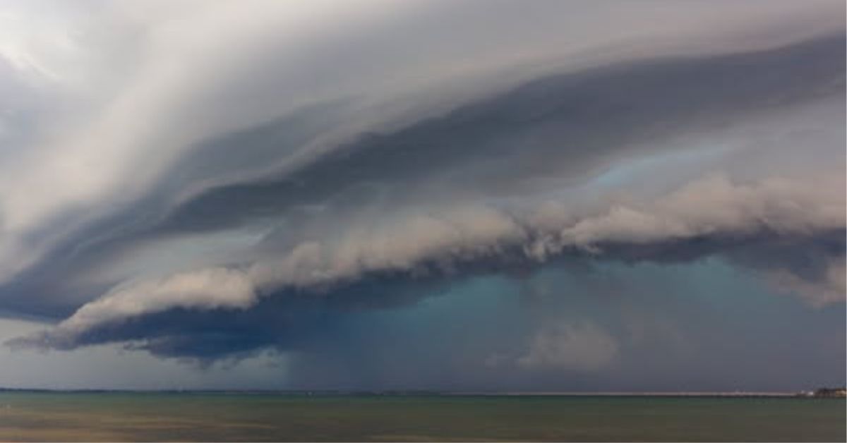
By 7:45 am on Thursday 22 October 2026, a severe thunderstorm had dumped 141 millimetres of rain on Burpengary within three hours. The Burpengary Creek flood intensified quickly: the creek surged to nine metres at the Mathew Crescent gauge, reaching 6.8 metres above normal stream levels. Major arterial crossings went underwater before morning peak traffic began.
Key Burpengary Creek flood crossings severed
Rowley Road at Mahers Bridge was among the first council-managed crossings closed by rising water. Hauton Road closed in two sections, cutting access at Garden Drive and Jillian Court. Water covered Station Road near the Morayfield Road intersection, while Progress Road and the Burpengary Service Road also shut. Morayfield Road went under at Burpengary Creek, severing the primary direct link between Burpengary and Morayfield. East of the Bruce Highway, Old Bay Road closed near Little Burpengary Creek. Across the Moreton Bay local government area, flash flooding cut 74 roads by midday.
The deluge generated 277 calls for State Emergency Service assistance across South East Queensland between 6 am and 3 pm. Moreton Bay residents accounted for 152 of those calls, representing more than half the regional total.


Emergency warnings issued and lifted
City of Moreton Bay issued a “Prepare to Leave” alert for low-lying streets across Burpengary and Burpengary East. The alert covered properties near Morayfield Road, O’Brien Road, Junction Road, and Childs Drive. Council established eight places of refuge across the region, while fourteen regional schools cancelled classes.
Runoff eased later in the afternoon, allowing creek levels to recede. Council cancelled the evacuation warning at 5:58 pm Thursday and stood down the temporary refuge centres.


Verification note: Warning status and closures reflect conditions verified at 5:58 pm AEST Thursday 22 October 2026. For current road conditions and active weather alerts, check the City of Moreton Bay Disaster Dashboard and QLDTraffic.
Catchment geography drives recurring closures
The Burpengary Creek catchment collects heavy runoff from the southern D’Aguilar Ranges before traversing a low-lying coastal plain. Low-level crossings along Rowley Road and Hauton Road sit directly in the active floodplain. Engineers constructed these roads decades ago to serve rural residential traffic rather than provide high flood immunity.
Council models these hazards through its Regional Floodplain Database, which used the Burpengary catchment as a foundation study. Burpengary also operates as one of 15 designated Drainage Investigation Areas across the city. This classification requires detailed stormwater master planning to evaluate detention basins and local network upgrades against continuing urban development.
Stormwater works and road immunity realities
Council has delivered significant water-quality assets across the catchment. The Crendon Street Park naturalised channel converted a concrete drain into a living waterway with sediment ponds and native plantings. The site won a 2025 Stormwater Queensland Award for Excellence. However, these systems treat water quality and slow minor runoff rather than prevent major creek overflows.


Burpengary Roads and Crossings: Verified Flood Impacts and Works
Summary of key creek crossings, historical flood vulnerabilities, and current infrastructure status.
| Location / Asset | Managing Authority | 22 Oct 2026 Impact | Infrastructure Status |
|---|---|---|---|
| Rowley Road (Mahers Bridge) | City of Moreton Bay | Closed from 11:30 am | Low-level bridge; no funded raising project scheduled |
| Hauton Road (Garden Dr & Jillian Ct) | City of Moreton Bay | Closed from 10:20 am | Drainage Investigation Area; master planning in progress |
| Morayfield Road at Burpengary Creek | Dept of Transport & Main Roads / Council | Closed during peak creek surge | Critical arterial link; subject to major catchment inundation |
| Old Bay Road (Little Burpengary Creek) | City of Moreton Bay | Closed near Childs Drive | $1.075M culvert upgrade completed (2020); vulnerable to extreme surges |
| Crendon Street Park Naturalised Channel | City of Moreton Bay | Operational bio-filtration | Completed waterway project; won 2025 Stormwater Qld Award |
Data sources: City of Moreton Bay Disaster Dashboard, QLDTraffic road logs, and Stormwater Queensland project registers.
On Old Bay Road, a previously completed $1.075 million culvert upgrade improved minor drainage and fauna movement. Even so, extreme creek surges still overtop the low-lying pavement. For vital connections at Rowley Road and Hauton Road, council has not funded or scheduled major bridge-raising projects. Until significant capital funding arrives, intense rain bursts will continue to isolate the suburb’s lowest crossings.
Published 23-October-2026
CLICK ANY LOGO TO SEE PUBLICATION