



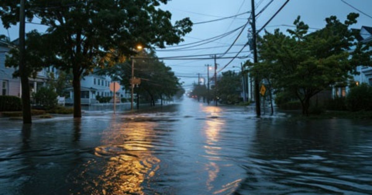
Moreton Bay is already carrying a large growth task on paper. Queensland Government data puts the city’s estimated resident population at 532,400 at 30 June 2025, with projections rising to between 683,500 and 851,800 by 2046. The same broadhectare profile shows 4,649 hectares of land with an expected yield of about 51,400 dwellings and a potential population capacity of about 135,600 people. The question after the 22 October rain event is not whether growth is happening. It is whether stormwater planning, flood controls and delivery timing are keeping pace with it.
That distinction matters. The rainfall event is context, not proof that new housing caused flooding. Without hydrological evidence, it would be wrong to draw that line. What can be checked is whether roads, drains, detention areas and overland flow paths are being delivered before, or at least alongside, the homes they are meant to protect.


Morayfield South: a clear planning frame, but delivery timing is less clear
Morayfield South is the clearest of the three growth areas on paper. Council says the area covers about 900 hectares of existing rural residential land and is intended to deliver 9,800 dwellings and about 26,000 people. Some development applications are already proceeding under the current planning scheme. Council’s temporary planning instrument took effect in September 2025 and expired on 17 September 2026, while the draft structure plan and planning scheme amendment remain in the statutory process. Council says the plan will guide environmental corridors, roads, schools, retail and community hubs, open space and a district sports park.
That is a credible planning frame. The harder part is the timing. The public material reviewed here does not give a single, consolidated delivery schedule for drainage corridors, detention basins or flood-mitigation works across each stage of Morayfield South. That gap is exactly where local concern tends to grow.


Burpengary East: wastewater is confirmed, but stormwater is not fully mapped out publicly
Burpengary East is harder to read from the public record reviewed for this story. The strongest verified infrastructure commitment found here is not stormwater but wastewater. Unitywater’s Burpengary East wastewater treatment plant upgrade will lift capacity from 50,000 people to 81,000, with completion expected in early 2027. That is a significant servicing project for a fast-growing area, but it is not the same thing as flood mitigation. Sewer capacity does not substitute for drainage capacity.
Public material reviewed here does not show a single, fully consolidated stormwater timetable for Burpengary East or a clean public line between housing sequencing and drainage delivery. That matters because the planning question is not just how many homes are coming, but what has to be built first for those homes to sit safely on the land.
Narangba East: still the most unresolved of the three
Narangba East remains the most unresolved of the three. Council’s project library includes a draft Future Directions Report dated September 2026. The Deputy Premier approved a new temporary local planning instrument on 17 June 2026, extending current planning conditions to 18 June 2028. The state also accepted an early release area fronting existing industry on Old Gympie Road and Richards Road. Council says the draft report will guide future land uses and infrastructure for the broader rural residential investigation area, but the public record still does not give a fully settled delivery timetable for stormwater, roads and parks.


What the flood tools can, and cannot, show
That is where council’s flood tools help, and where they also fall short. The Flood Viewer and flood check reports are useful for understanding risk, but they are not live mirrors of every new subdivision. Council says the flood database was updated in 2025 and that it generally aims to update flood data every five years. The flood check reports include flood and coastal planning areas, defined flood events, freeboard, flow velocity constraints, the year 2100 highest astronomical tide level and overland flow. Council also says the mapping cannot be updated immediately every time a development is completed.
In plain terms, the maps are necessary, but they are not enough. The real test is whether the infrastructure needed to manage runoff and flood paths is arriving in step with the homes, not after the water does.
Published 23-October-2026
CLICK ANY LOGO TO SEE PUBLICATION