



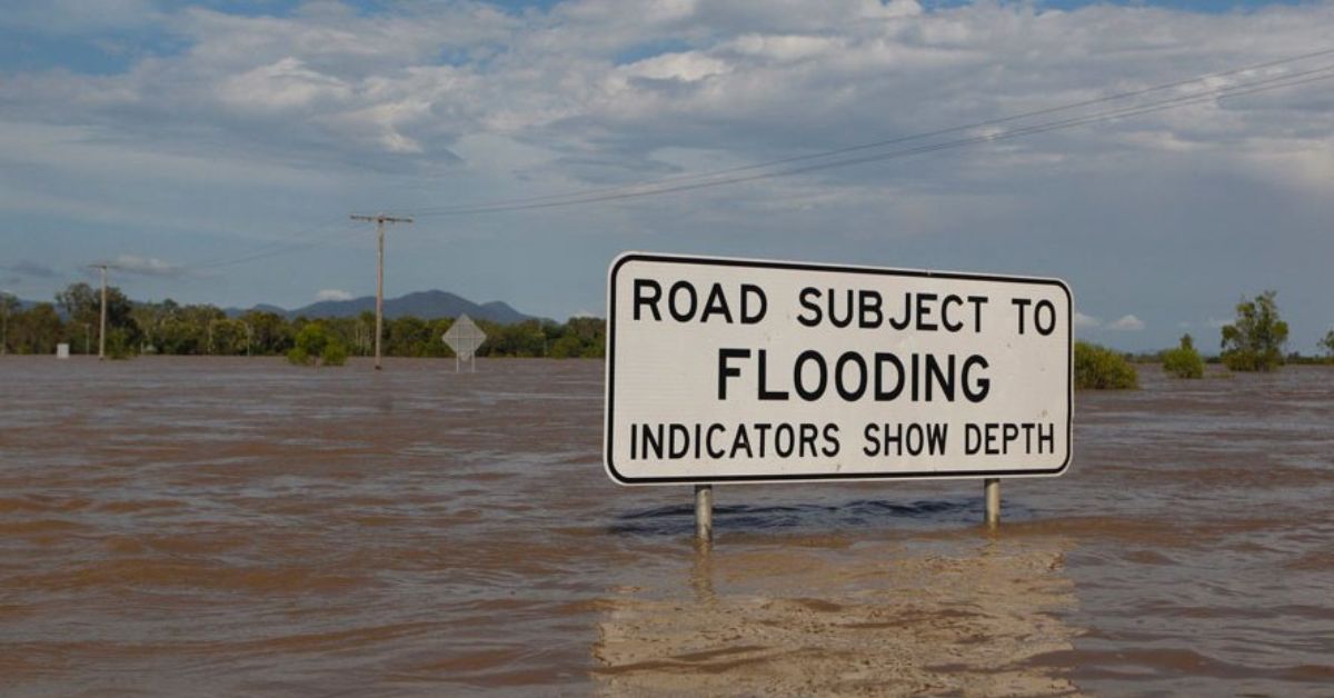
Morayfield again came under pressure on 22 October when Sheep Station Creek recorded 168mm in three hours to 7.30am, according to local reporting. Moreton Bay roads flooded across Morayfield, Caboolture and Burpengary, and council warned of flash flooding across the region. That is a serious burst of rain, but it does not, by itself, prove the drainage network failed.
A catchment built to feel the strain
Morayfield sits inside the wider Caboolture River catchment, and the Bureau of Meteorology says the system includes Sheep Station, King John, Lagoon and Burpengary creeks. The bureau’s brochure says the catchment has a history of major flooding, with significant events in 2011, 2013 and 2022. It also says flash flooding can hit the middle reaches of the catchment, while water can take days to drain away near the lower river.


That matters because not every flood comes from one cause. Creek flooding, overland flow and local drainage exceedance can happen together, but they are not the same thing. City of Moreton Bay says its flood hazard overlay is a planning tool, not a live flood map. The council says it does not show current flood conditions or flood immunity, and its planning maps do not update automatically when new works are built. It also says stormwater systems are designed for smaller, more frequent events, while heavier rainfall can still push excess water onto roads and low points.
Projects already delivered
The clearest verified upgrade in Morayfield is the William Berry Drive project. City of Moreton Bay says Stage 3B is now complete. It included road pavement reconstruction, stormwater drainage upgrades and road resurfacing. Council says the full project improved pavement condition, drainage infrastructure, safety and resilience along the corridor.


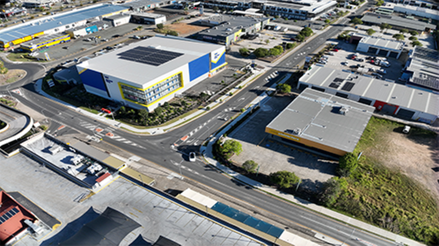
Photo Credit: City of Moreton Bay
That is a genuine flood-related improvement, but it is not a cure-all. Drainage upgrades can help roads cope better with heavy rain, yet they cannot eliminate flood risk in a fast-moving storm.
Projects still underway
Council’s Buchanan Road upgrade is still in the planning phase. The project page says it covers Buchanan Road and William Berry Drive between Morayfield Road and the Bruce Highway. It is intended to improve road flood immunity at Sheep Station Creek, strengthen traffic capacity and add active transport links. The Queensland Government has committed $7 million in matched funding for corridor planning and early design.
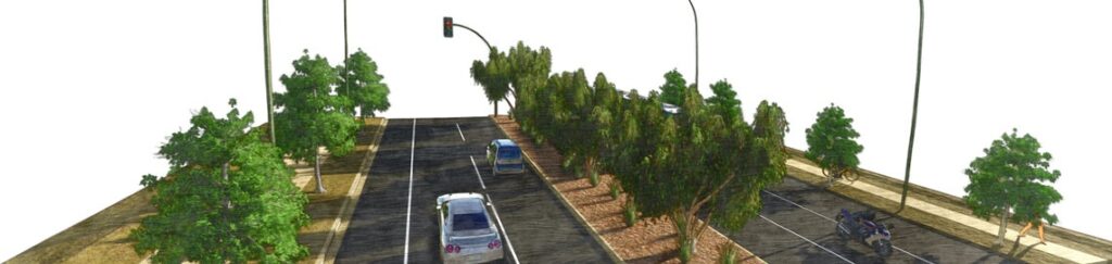
Photo Credit: City of Moreton Bay
Council says the upgrade must span the Caboolture rail line and the Sheep Station Creek flood zone, which helps explain why it remains a design-heavy project rather than a quick construction job. The page also says the project will likely include a new bridge over the railway line, widening works, traffic signals at Graham Road and pedestrian and bicycle upgrades.
Council’s 2022 Spotlight on Morayfield also lists Sheep Station Creek rehabilitation. That work is described as re-establishing vegetation along a 2.5km section of the waterway corridor to improve water quality and restore natural ecosystems. It is a waterway project, not a stand-alone drainage fix, but it still forms part of the catchment response.


Morayfield Flood Mitigation: The Project Register
Verified projects only. Fields marked unavailable were not published in the source set or could not be verified. This register separates stormwater works from wastewater works.
| Project | Location | Mitigation type | Budget | Status | Completion date |
|---|---|---|---|---|---|
| Buchanan Road upgrade | Buchanan Road and William Berry Drive, Morayfield | Road flood immunity at Sheep Station Creek | $7 million matched funding for planning and early design | Planning underway | Unavailable |
| William Berry Drive Upgrade | William Berry Drive, Morayfield | Stormwater drainage upgrades and road rehabilitation | Unavailable | Completed | October 2026 |
| Sheep Station Creek rehabilitation | 2.5km section of Sheep Station Creek | Waterway rehabilitation | About $850,000 | Progressively delivered | 2026–2030 |
Growth, pressure and the limits of the map
Council says the Morayfield area needs infrastructure that keeps pace with projected growth in the greater Caboolture and Morayfield area, including Waraba. That is the broader context here. More homes, more roads and more hard surfaces change how water moves across the landscape. They do not automatically cause flooding, but they do increase the load on drains, culverts and creek corridors.
The right question is not whether Morayfield can stop every flood. It cannot. The harder question is whether the current round of road, drainage and creek works is enough to reduce the impact when intense rain returns. The verified answer, for now, is partial. Some works are done, some are still being designed, and the next big rain will test both.
Published 22-October-2026
CLICK ANY LOGO TO SEE PUBLICATION