



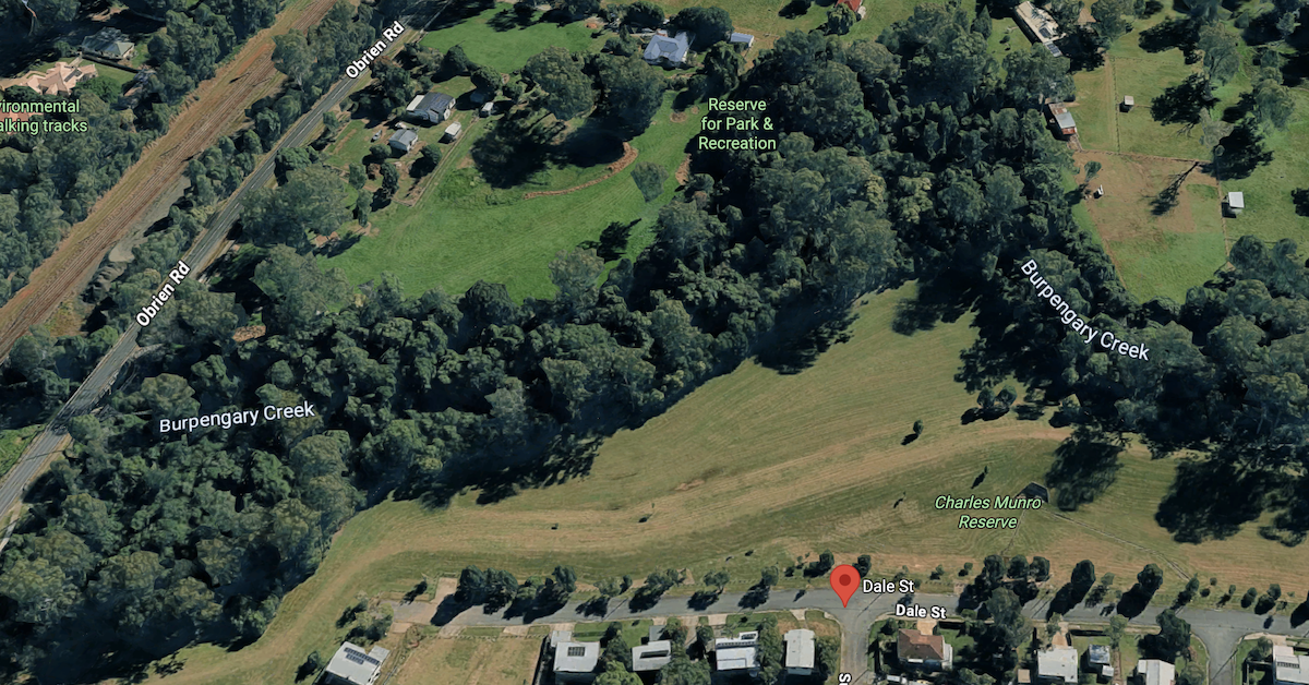
Heavy rainfall across Burpengary and Morayfield has brought renewed flood concerns along Burpengary Creek, with reports of rapidly rising water and warnings affecting nearby residential areas.
Read: Severe Storm Brings Flooding, Hail, and Roof Collapses in Morayfield
On Thursday, 22 October 2026, the Bureau of Meteorology recorded 127 millimetres of rain at Burpengary’s Mathew Creek gauge in the three hours to 6:45 a.m. Sheep Station Creek in Morayfield received 128 millimetres over the same period, as severe thunderstorms brought dangerous flash-flooding conditions to parts of Moreton Bay.


Residential warnings reported near Burpengary Creek
Contemporary reports described a rapid rise in Burpengary Creek and prepare-to-leave advice for residents around Morayfield Road, O’Brien Road, Junction Road and Childs Drive.
The original warning boundaries, issue time and subsequent changes have not been independently confirmed from council emergency records. The reported advice should not be confused with an evacuation order or evidence that households have already left their properties.


Residents can check the City of Moreton Bay Disaster Dashboard for official local warnings and emergency information. Flood conditions may change rapidly, particularly after intense rainfall across the catchment.
Dale Street gauge tracks creek flooding
Burpengary Creek is monitored at Dale Street through an automatic river-height gauge owned by the City of Moreton Bay.
The Bureau’s published flood classifications put minor flooding at 9 metres, moderate flooding at 10 metres and major flooding at 10.9 metres at the gauge. The readings refer to gauge height, not the depth of water over neighbouring roads or homes.
A precise, timestamped Dale Street reading for the 22 October event has not been independently established. Without the observation record, the reported extent of the creek’s rise cannot be confirmed.


Previous floods show the creek’s exposure
Burpengary Creek has a documented history of substantial flooding. The Dale Street gauge reached 11.19 metres in January 2011, 10.84 metres in February 2022 and 9.84 metres in January 2024.
The Bureau’s flood-history records show how quickly the catchment can be affected by major rainfall events, although previous flood peaks do not establish the severity of the current event.
During the February 2022 floods, widespread inundation damaged property and infrastructure across the Pine and Caboolture catchments. Morayfield was among the communities affected by flash flooding.
Residents urged to monitor official updates
The Bureau identifies the Pine and Caboolture catchments as susceptible to flash flooding, particularly during periods of intense rainfall.
Read: Draft Plan Released for Centenary Lakes Sports Complex Upgrade
Motorists should check QLDTraffic before travelling and avoid roads affected by floodwater. Flooded crossings must not be entered, even where the water appears shallow.
Residents needing storm or flood assistance can contact the State Emergency Service on 132 500. For life-threatening emergencies, call Triple Zero (000).
Published 22-Oct-2026
CLICK ANY LOGO TO SEE PUBLICATION